
The Tampa Bay Coastal Master Plan is entering its second phase, focusing on community input to identify the region’s most vulnerable and flood-prone areas while developing a long-term resilience plan.
The four-year plan aims to strengthen regional resilience through data-driven science and community feedback, creating a blueprint for future projects that address flooding challenges across the Tampa Bay region.
The plan spans more than 4,400 square miles of inland and coastal ecosystems across Citrus, Hernando, Pasco, Pinellas, Hillsborough, Manatee and Sarasota counties.
“This region is immense and is so built out,” said Amanda Moore, Gulf Program Senior Director for the National Wildlife Federation. “I think you’re going to see different projects because each area is so different.”
The Tampa Bay Coastal Master Plan is the first of its kind in Florida and is currently in its second year of development. The first year focused on building a team, bringing together partners and understanding what a coastal master plan could look like for the region.
Now, the focus is gathering feedback from residents about their personal experiences with flooding.
One of the differences of the Tampa Bay Coastal Master Plan is that it is designed to be community-led rather than solely government-driven.
“Every county has to do vulnerability assessments, but ours is community-led,” Moore said. “When we drafted the proposal to do this plan, we always had a big commitment to have community input be the backbone and prioritize how we collect feedback.”
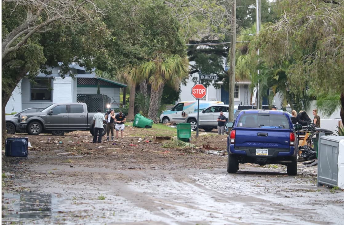
Residents across the seven-county region are encouraged to participate in the flood survey and share what they have experienced during heavy rainfall events. The feedback will help identify areas where flooding is impacting daily life and help guide future recommendations.
The team is also hosting listening sessions and outreach events throughout the region, working with residents, local leaders and community groups to better understand flooding concerns.
The next phase will move into the technical and engineering process, where experts will analyze the information collected and begin developing project ideas for the most vulnerable areas.
Potential projects could include nature-based solutions such as living shorelines, rain gardens, improved green spaces and other strategies designed to help manage stormwater.
“We’re looking at more chronic flooding, extreme rainfall, sea level rise and high tide flooding,” Moore said. “It’s about how we can adapt and create more resilient communities.”
Moore said many residents think about flooding in terms of major storms, but the plan is focused on the everyday flooding challenges.
“When people think about flooding, they think about these major storms,” Moore said. “But we’re looking at people saying they couldn’t drive through certain areas because roads washed out, or they know where water comes into their neighborhoods every time it rains.”
The master plan is being developed through a partnership led by the Tampa Bay Regional Planning Council with organizations including the National Wildlife Federation, University of South Florida and other regional partners.
The goal is to create a roadmap showing where resilience investments are needed most.
“We are creating a blueprint and guide of where to invest the funds,” Moore said.
Moore pointed to Louisiana’s Coastal Master Plan as an example of how long-term planning can help regions become more competitive for federal funding.
Louisiana began its coastal master planning process in 2007 and has continued updating its plans as conditions change. Moore said having a clear strategy helps decision-makers understand where funding can have the greatest impact.
“Coastal master plans tend to make areas competitive for funding because you have a plan in place,” Moore said. “It’s great to say we have a plan here, the government agrees and there’s public input. It creates a strong case for investment.”
The first project proposals from the Tampa Bay Coastal Master Plan are expected to be announced in 2028.
Moore said the final projects will likely look different throughout the region because each community has different needs.
“Some areas might have more space for a nature coast, like maximizing green space,” Moore said. “Other areas are more developed, so the solutions will look different. We don’t know yet, but that’s what this process is helping us figure out.”
Residents across the seven-county region can still participate in the flood survey through the end of the month. Moore said the team will begin analyzing the responses next month to better understand where flooding is impacting communities and help shape future recommendations.